


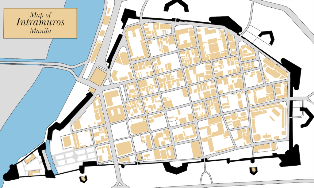
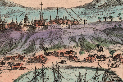
Go here to get a hi-res copy of this map.
Go here to get a hi-res copy of this map.

1987 Cadastral Map. No hi-res available.
Go here for more information.
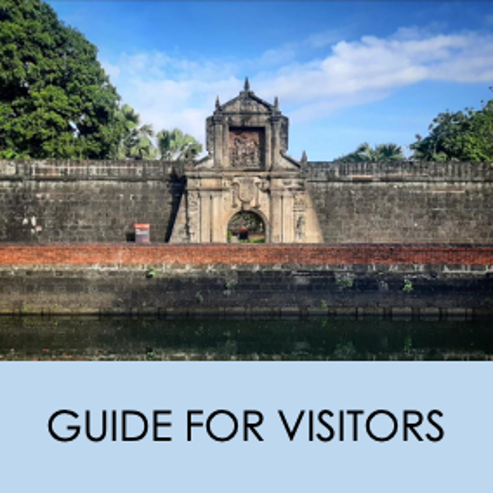
Go here to download our Intramuros tour map. Maps also available for Fort Santiago, Casa Manila, and Baluarte de San Diego.
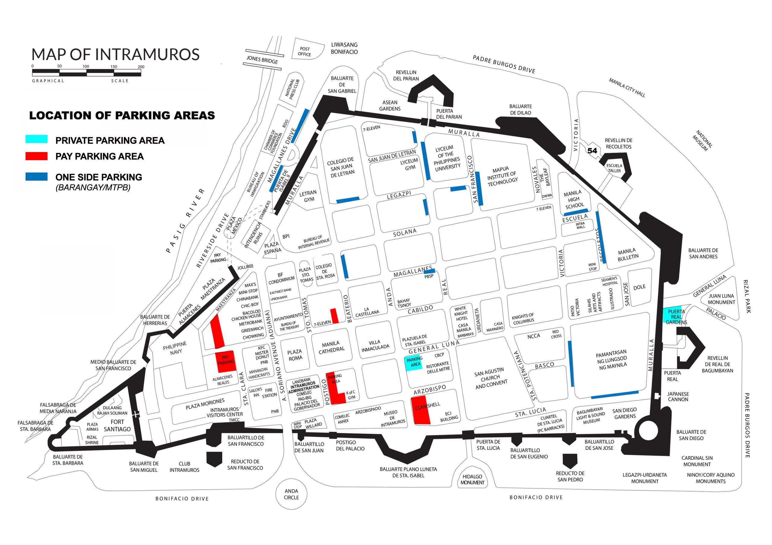
Other maps
- Barangay Map of Intramuros 2016 – View here
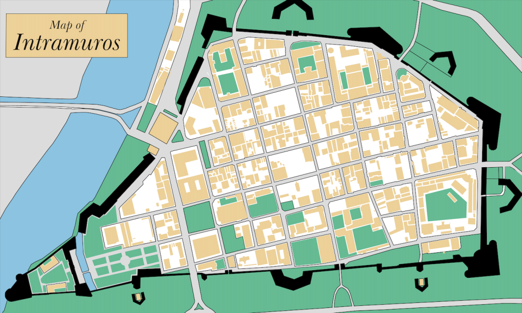
- Land Use Map of Intramuros (actual) 2015 – View here
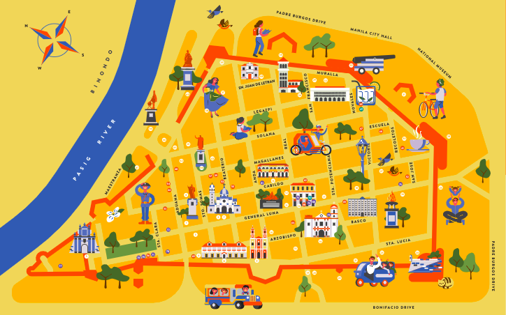
- Tourist Map of Intramuros – View here
Site plans
- ASEAN Garden
- Baluarte de Dilao
- Baluarte de San Andres
- Baluarte de San Diego
- Baluarte de San Gabriel
- Baluarte Plano Luneta de Santa Isabel
- Fort Santiago
- PC Barracks
- Plaza Roma
- Plaza San Luis
- Puerta Real Gardens
For comments or questions contact us via tourism@intramuros.gov.ph
 |  |  |
#WeAreIntramuros